Fri, Mar 05, 2004
Crew to Study Extreme Climates
An international team
of scientists from NASA and other research institutions has
embarked on a three-week expedition of discovery that will take
them from the lush, dense rain forests of Central America to the
frigid isolation of Antarctica. Armed with a unique radar
instrument, the airborne team will survey selected sites in Central
America to help unearth archaeological secrets and preserve
resources, biological and cultural diversity. Then the scientists
are off to South America's Patagonian ice fields and Antarctica to
conduct topographic surveys to better gauge the effect of climate
change in that region.
The team's savvy tour guide is an all-weather imaging tool, the
Airborne Synthetic Aperture Radar (AirSAR), developed and managed
by NASA's Jet Propulsion Laboratory, Pasadena (CA). Carried aboard
a NASA DC-8 Airborne Science laboratory, AirSAR can penetrate
clouds and also collect data at night. Its high resolution sensors
operate at multiple wavelengths and polarizations. This means
AirSAR "sees" beneath treetops, through thin sand, and dry snow
pack. The sensors can produce topographic models. The
highly-modified aircraft departed NASA's Dryden Flight Research
Center at Edwards March 1, bound for southern Mexico and Central
America.
"Central America's unique environment and irreplaceable
archaeology are being altered and destroyed at an alarming rate,"
said Dr. Ghassem Asrar, NASA Associate Administrator for Earth
Science. "Natural and cultural resources may disappear unless
accurately inventoried. NASA's AirSAR campaign provides unique data
not available from other spaceborne or commercial observational
platforms that will help scientists characterize past and present
human impacts on the landscape. Meanwhile, in South America and
Antarctica, AirSAR will enable better assessments of how climate
change is impacting glaciers and ice shelves and contributing to
sea level rise."
Much of the
archaeological evidence needed to understand Pre-Columbian
societies in Central America comes from identifying and documenting
features remaining on the landscape. Difficult terrain and
logistics have limited ground-data collection. Previous remote
sensing techniques were unable to penetrate the forest canopy.
AirSAR is expected to detect features such as fortifications,
causeways, walls and other evidence of advanced civilizations
hidden beneath the forest. Images will shed insight into how modern
humans interact with their landscape, how ancient peoples lived and
what became of them.
AirSAR's scientific mission would not be possible without NASA's
unique DC-8 flying laboratory, a converted jetliner that has flown
hundreds of Earth science payloads. "NASA Dryden has provided the
international science community with this heavy-lift airborne
laboratory and its flight crew, engineering staff, ground and
maintenance personnel and support staff, capable of flying
virtually anywhere," said NASA Dryden DC-8 mission manager Walter
Klein.
More News
Youth Explore With Hands-On Builds, RC Airplanes, Flight Sims, Much More KidVenture is located just north of the EAA Aviation Museum, at Pioneer Airport, and has arranged a myriad >[...]
“About nine decades ago, Amelia Earhart was recruited to Purdue, and the university president later worked with her to prepare an aircraft for her historic flight around the >[...]
Also: New Amelia Search, B737 Flap Falls Off, SUN ‘n FUN Unveiling, F-16 Record Captain Sully Sullenberger, the pilot who saved 155 people by safely landing an A320 in the Hu>[...]
"It is critically important for North American flight safety that Temporary Flight Restriction (TFR) violations are avoided. All pilots must familiarize themselves with updates to >[...]
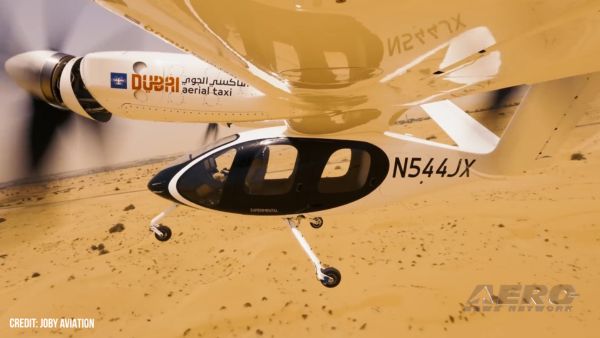
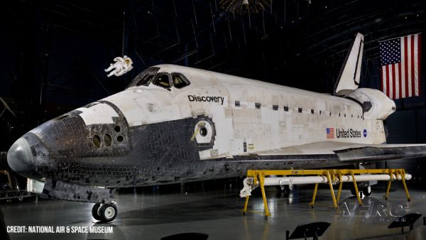
Also: Hackers v Aviation, Discovery Moving?, Gogo Galileo HDX, EVE to Costa Rica Joby Aviation announced its electric air taxi successfully completed a series of VTOL wingborne tri>[...]
 KidVenture Educational Activities Lineup At EAA AirVenture 2025