NASA To Continue NASA Drone Traffic Testing in Corpus Christi, Texas | Aero-News Network
Aero-News Network
RSS icon RSS feed
podcast icon MP3 podcast
Subscribe Aero-News e-mail Newsletter Subscribe

Airborne Unlimited -- Most Recent Daily Episodes

Episode Date

Airborne-Monday

Airborne-Tuesday

Airborne-Wednesday Airborne-Thursday

Airborne-Friday

Airborne On YouTube

Airborne-Unlimited-06.23.25

Airborne-NextGen-06.24.25

AirborneUnlimited-06.25.25

Airborne-AffordableFlyers-06.26.25

AirborneUnlimited-06.27.25

Thu, Aug 15, 2019

NASA To Continue NASA Drone Traffic Testing in Corpus Christi, Texas

Flights To Be Conducted On Thursday

NASA plans to continue the final stage of testing for its Unmanned Aircraft Systems Traffic Management (UTM) platform in Corpus Christi, Texas, on Thursday, Aug. 15.

This test will focus on drone operations at altitudes between 200 and 400 feet within a dense city environment. Along with larger populations, city landscapes present unique challenges to drone traffic management, including: more obstacles to avoid, specific weather and wind conditions, reduced lines of sight, reduced ability to communicate by radio, and fewer safe landing locations. The Corpus Christi activities will test new ways to address these hurdles using the NASA platform and technologies onboard the participating drones.

Since 2015, NASA has worked to create a research platforms that can manage drone traffic safely. With a long-standing partnership with the Federal Aviation Administration and help from industry partners, the goal is to understand how a nationwide system for drones can safely integrate remotely-piloted aircraft into low-altitude airspace.

After the UTM research is completed and results are compiled, NASA will then transfer the findings to the FAA for implementation. This partnership between research and regulation agencies, along with the input of thousands of experts and users will set the stage for a future of a well-connected sky. Drones will offer many benefits by performing jobs too dangerous, dirty or dull for humans to do, and NASA is helping to navigate to that future.

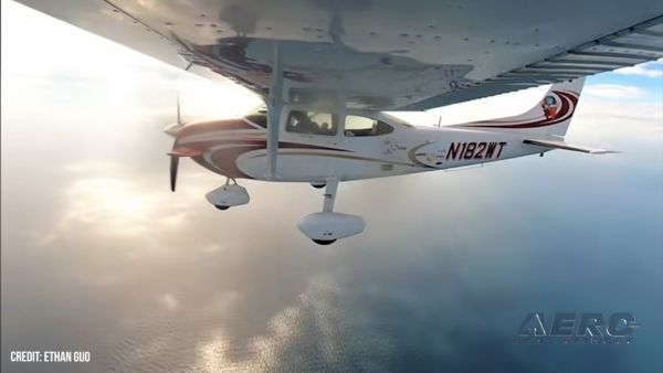
(Image provided with NASA news release)

FMI: www.nasa.gov

Advertisement

More News

ANN's Daily Aero-Linx (06.29.25)

Aero Linx: Transport Canada We are a federal institution, leading the Transport Canada portfolio and working with our partners. Transport Canada is responsible for transportation p>[...]

ANN's Daily Aero-Term (06.29.25): Gross Navigation Error (GNE)

Gross Navigation Error (GNE) A lateral deviation from a cleared track, normally in excess of 25 Nautical Miles (NM). More stringent standards (for example, 10NM in some parts of th>[...]

Classic Aero-TV: Anticipating Futurespace - Blue Origin Visits Airventure 2017

From AirVenture 2017 (YouTube Edition): Flight-Proven Booster On Display At AirVenture… EAA AirVenture Oshkosh is known primarily as a celebration of experimental and amateu>[...]

NTSB Final Report: Cirrus SR22

Aircraft Parachute System (CAPS) Was Deployed About 293 Ft Above Ground Level, Which Was Too Low To Allow For Full Deployment Of The Parachute System Analysis: The day before the a>[...]

Airborne Affordable Flyers 06.26.25: PA18 Upgrades, ‘Delta Force’, Rhinebeck

Also: 48th Annual Air Race Classic, Hot Air Balloon Fire, FAA v Banning 100LL, Complete Remote Pilot The news Piper PA-18 Super Cub owners have been waiting for has finally arrived>[...]

blog comments powered by Disqus


Advertisement

Advertisement

Podcasts

Advertisement

© 2007 - 2025 Web Development & Design by Pauli Systems, LC