Wed, Oct 24, 2007

Advertisement
More News
 ANN's Daily Aero-Term (06.04.25): NORDO (No Radio)
NORDO (No Radio) Aircraft that cannot or do not communicate by radio when radio communication is required are referred to as “NORDO.”>[...]
ANN's Daily Aero-Linx (06.04.25)
Aero Linx: South Carolina Aviation Association (SCAA) Airports in South Carolina support the state’s economy and are themselves economic generators. Residents, businesses, an>[...]
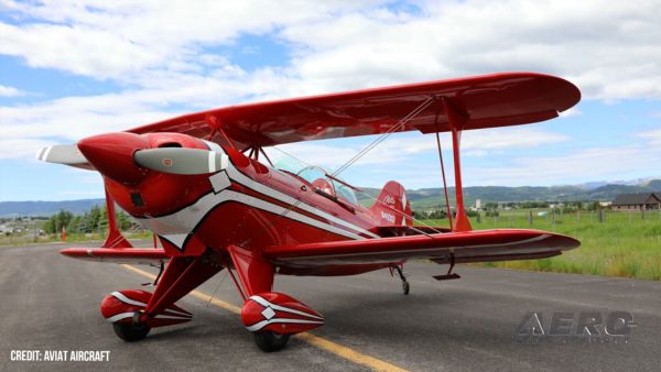
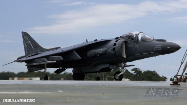
Airborne 06.04.25: G100UL Legal Decision, FAA v Starship, Laser Conviction
Also: AV-8B Harrier For CAF Arizona, Boeing Gets ODA, Army NG Rescue, Longitude To C. America A California Superior Court judge recently ruled that GAMI’s unleaded avgas does>[...]
Airborne-NextGen 06.03.25: Hermeus Quarterhorse, VFS Forum, VX4 eVTOL
Also: Williams International Builds Up, Marines v Drones, NBAA v Tariffs, New GAMA Members Hermeus confirmed the flight of its Quarterhorse MK 1 aircraft at the Air Force Test Cent>[...]
ANN FAQ: Q&A 101
A Few Questions AND Answers To Help You Get MORE Out of ANN! 1) I forgot my password. How do I find it? 1) Easy... click here and give us your e-mail address--we'll send it to you >[...]
blog comments powered by Disqus