'Ocean' Satellite Sentinel-6A Beginning To Take Shape | Aero-News Network
Aero-News Network
RSS icon RSS feed
podcast icon MP3 podcast
Subscribe Aero-News e-mail Newsletter Subscribe

Airborne Unlimited -- Most Recent Daily Episodes

Episode Date

Airborne-Monday

Airborne-Tuesday

Airborne-Wednesday Airborne-Thursday

Airborne-Friday

Airborne On YouTube

Airborne-Unlimited-05.12.25

Airborne-NextGen-05.13.25

AirborneUnlimited-05.14.25

Airborne-FlightTraining-05.15.25

AirborneUnlimited-05.16.25

Fri, Sep 07, 2018

'Ocean' Satellite Sentinel-6A Beginning To Take Shape

Copernicus Satellite Is Expected To Be Launched In 2020

The integration of Sentinel-6A, the first of two satellites to continue measuring sea levels from 2020, has reached a new milestone and its critical phase: the propulsion module has been “mated” with the main structure of the satellite at Airbus.

In a complex operation, the Airbus satellite specialists hoisted the approximately 16-foot high satellite platform with pinpoint precision over the drive module, which had already been positioned. The two components were then fixed in place and assembled. Before this could happen, the propulsion module, which includes the engines, control devices and a 63-gallon tank with an innovative fuel management system, had to undergo technical acceptance, since this subsystem can no longer be accessed once it has been integrated. The propulsion module now needs to be ‘hooked up’, which will then be followed by the system tests.

Two Sentinel-6 satellites for the European Copernicus Programme for environment and security, headed by the European Commission and ESA, are currently being developed under Airbus’ industrial leadership, each weighing roughly 1.5 tonnes. From November 2020, Sentinel-6A will be the first to continue collecting satellite-based measurements of the oceans’ surfaces, a task that began in 1992. Sentinel-6B is then expected to follow in 2025.

Sentinel-6 is a mission to carry out high-precision measurements of ocean surface topography. The satellite will measure its distance to the ocean surface with an accuracy of a few centimetres and, over a mission lasting up to seven years, use this data to map it, repeating the cycle every 10 days. It will document changes in sea-surface height, record and analyse variations in sea levels and observe ocean currents. Exact observations of changes in sea-surface height provide insights into global sea levels, the speed and direction of ocean currents, and ocean heat storage. The measurements made are vital for modelling the oceans and predicting possible rises in sea levels.

(Image provided with Airbus news release)

FMI: www.airbus.com

Advertisement

More News

ANN's Daily Aero-Term (05.17.25): Permanent Echo

Permanent Echo Radar signals reflected from fixed objects on the earth's surface; e.g., buildings, towers, terrain. Permanent echoes are distinguished from “ground clutter&rd>[...]

ANN FAQ: Contributing To Aero-TV

How To Get A Story On Aero-TV News/Feature Programming How do I submit a story idea or lead to Aero-TV? If you would like to submit a story idea or lead, please contact Jim Campbel>[...]

Aero-News: Quote of the Day (05.17.25)

“The 737 MAX will diversify AviLease’s portfolio by delivering unrivalled fuel efficiency and market-leading versatility. It’s a powerful combination that will fu>[...]

Classic Aero-TV: Jabiru's New J170-D - An Upgraded and Fine-tuned LSA

From 2017 (YouTube Edition): The Airplane From Down Under Is A Proven Trainer… Jabiru was one of the early light sport aircraft (LSA) brought into the U.S.A. when the sport >[...]

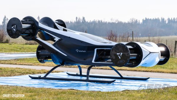
Airborne-NextGen 05.13.25: Merlin Tests, Dronetag Accuses, Flying Car?

Also: MQ-9B UAS MTC, FlightSimExpo, New JPL Director, Japanese Lunar Lander Preps Merlin’s flight testing campaign continues to rapidly progress with its certification-ready >[...]

blog comments powered by Disqus


Advertisement

Advertisement

Podcasts

Advertisement

© 2007 - 2025 Web Development & Design by Pauli Systems, LC