Wed, Mar 14, 2012

Advertisement
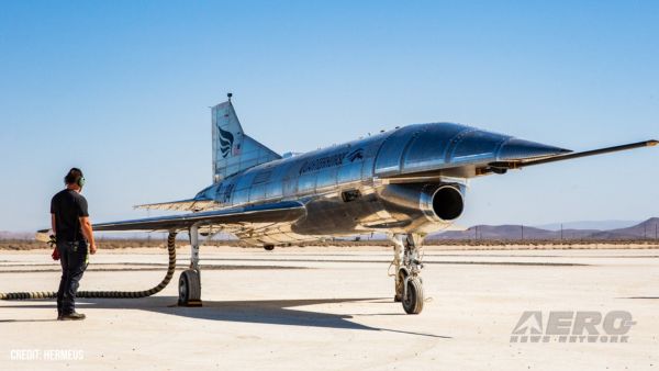
More News
 Oshkosh Memories: An Aero-News Stringer Perspective
From 2021: The Inside Skinny On What Being An ANN Oshkosh Stringer Is All About By ANN Senior Stringer Extraordinare, Gene Yarbrough The annual gathering at Oshkosh is a right of p>[...]
NTSB Prelim: Diamond Aircraft Ind Inc DA 40 NG
Pilot Asked The Mechanic To Go For A Test Flight Around The Airport Traffic Pattern With Him For A Touch-And-Go Landing, And Then A Full-Stop Landing On May 7, 2025, about 1600 eas>[...]
Classic Aero-TV: US Airways Jeff Skiles-Making History and Looking To The Future
From 2010 (YouTube Edition): Skiles Reflects On His Ring-Side Seat To An Historic Event Jeff Skiles, First Officer of US Airways Flight 1549, "The Miracle on the Hudson," was the g>[...]
Aero-News: Quote of the Day (05.26.25)
“The FAA conducted a comprehensive safety review of the SpaceX Starship Flight 8 mishap and determined that the company has satisfactorily addressed the causes of the mishap,>[...]
ANN's Daily Aero-Term (05.26.25): Fuel Remaining
Fuel Remaining A phrase used by either pilots or controllers when relating to the fuel remaining on board until actual fuel exhaustion. When transmitting such information in respon>[...]
blog comments powered by Disqus