4AIR Launches First Interactive Sustainable Aviation Fuel Map for Business Jets | Aero-News Network
Aero-News Network
RSS icon RSS feed
podcast icon MP3 podcast
Subscribe Aero-News e-mail Newsletter Subscribe

Airborne Unlimited -- Most Recent Daily Episodes

Episode Date

Airborne-Monday

Airborne-Tuesday

Airborne-Wednesday Airborne-Thursday

Airborne-Friday

Airborne On YouTube

Airborne-Unlimited-04.29.24

Airborne-Unlimited-04.23.24

Airborne-Unlimited-04.24.24 Airborne-FltTraining-04.25.24

Airborne-Unlimited-04.26.24

Fri, Sep 17, 2021

4AIR Launches First Interactive Sustainable Aviation Fuel Map for Business Jets

Map Shows Where To Locate Sustainable Aviation Fuel 

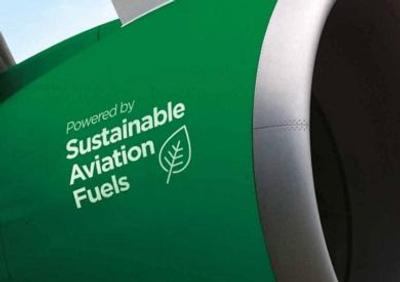
4AIR has launched an interactive map to show private jet owners and operators where to find Sustainable Aviation Fuel.

The map seeks to address the difficulties in locating SAF, due to limited distribution and fragmented marketing.

“Sustainable Aviation Fuel is an efficient and effective way to reduce the impact private jets have on climate change,” said Kennedy Ricci, 4AIR’s president. “This is the single best way for aviators to find this climate-beneficial fuel. And, by making it easier to find SAF, we hope to promote its use and expand its availability.”

The map has almost 20 verified SAF locations, and excludes locations if they do not have fuel available for purchase to the business aviation community. Each listing shares an address, website link and telephone number. Plans to update the map continuously are ongoing.

“The future of sustainability within private aviation depends on the increasing demand and availability of SAF,” said Scott Cutshall, SVP of Development and Sustainability at Clay Lacy. “We’re excited for 4AIR’s interactive map to make it easier for operators to locate SAF as it rolls out at more and more of their destination FBOs, including Clay Lacy locations.”

SAF has a similar chemical composition to fossil fuels, and therefore the same tailpipe emissions, but it can be pumped, stored and used within the existing fuel infrastructure.

4AIR says the interactive SAF map is a demonstration of how the company is simplifying the ability for private aviation operators to make flying more environmentally friendly.

FMI: https://www.4air.aero

Advertisement

More News

Unfortunate... ANN/SportPlane Resource Guide Adds To Cautionary Advisories

The Industry Continues to be Rocked By Some Questionable Operations Recent investigations and a great deal of data has resulted in ANN’s SportPlane Resource Guide’s rep>[...]

ANN FAQ: Turn On Post Notifications

Make Sure You NEVER Miss A New Story From Aero-News Network Do you ever feel like you never see posts from a certain person or page on Facebook or Instagram? Here’s how you c>[...]

ANN's Daily Aero-Term (04.29.24): Visual Approach Slope Indicator (VASI)

Visual Approach Slope Indicator (VASI) An airport lighting facility providing vertical visual approach slope guidance to aircraft during approach to landing by radiating a directio>[...]

ANN's Daily Aero-Term (04.28.24): Airport Marking Aids

Airport Marking Aids Markings used on runway and taxiway surfaces to identify a specific runway, a runway threshold, a centerline, a hold line, etc. A runway should be marked in ac>[...]

ANN's Daily Aero-Linx (04.28.24)

Aero Linx: The Skyhawk Association The Skyhawk Association is a non-profit organization founded by former Skyhawk Pilots which is open to anyone with an affinity for the A-4 Skyhaw>[...]

blog comments powered by Disqus


Advertisement

Advertisement

Podcasts

Advertisement

© 2007 - 2024 Web Development & Design by Pauli Systems, LC