NTSB Cites IFR WX, Loss of Control in RV-6A Downing | Aero-News Network
Aero-News Network
RSS icon RSS feed
podcast icon MP3 podcast
Subscribe Aero-News e-mail Newsletter Subscribe

Airborne Unlimited -- Most Recent Daily Episodes

Episode Date

Airborne-Monday

Airborne-Tuesday

Airborne-Wednesday Airborne-Thursday

Airborne-Friday

Airborne On YouTube

Airborne-Unlimited-10.06.25

AirborneNextGen-
10.07.25

Airborne-Unlimited-10.08.25

Airborne-FlightTraining-10.09.25

AirborneUnlimited-10.10.25

Sun, Aug 17, 2008

NTSB Cites IFR WX, Loss of Control in RV-6A Downing

Fatal Accident Occurred As A/C Went Down At A "Steep Angle"

Scud running... it's the bane of many a VFR flyer who can't or won't file IFR or stay on the ground when the conditions tend to start the bird walking. It appears that another pilot has fallen to this hazard... and we can only hope (forlornly, we'd imagine) that he might be the last.

NTSB Identification: DEN08LA139
14 CFR Part 91: General Aviation
Accident occurred Monday, August 11, 2008 in Muskogee, OK
Aircraft: Dickey RV-6A, registration: N22163
Injuries: 1 Fatal.

This is preliminary information, subject to change, and may contain errors. Any errors in this report will be corrected when the final report has been completed.

On August 11, 2008, about 1325 central daylight time (CDT), a Dickey RV-6A experimental airplane, N22163 impacted terrain following a loss of control while conducting a cross-country flight. The instrument-rated private pilot was fatally injured. The airplane was destroyed. The personal flight was being conducted under the provisions of Title 14 Code of Federal Regulations Part 91 without a flight plan. Instrument meteorological conditions prevailed at the time of the accident. The flight originated at Fayette County Airport, Tennessee (FYE) with an intended destination of Borger, Texas (BGD).

Witnesses indicate the engine was running at the time of impact. Law enforcement officials stated the weather at the time of the accident was cloudy and misty with visibility less than 1 ½ mile. Weather at Davis Field Airport, Oklahoma (MKO) at 1353 CDT was overcast skies at 1,100 feet, light rain and 10 miles visibility.

A examination of the airplane and the accident site indicated the airplane impacted the ground at a steep angle. The engine and forward fuselage were buried in an impact crater approximately four feet deep with the engine resting at approximately 80 degrees. Airplane wreckage was mostly confined to the point of impact with some pieces spread across an area approximately 90 feet long by 50 feet wide on a southeasterly heading.

FMI: www.ntsb.gov

Advertisement

More News

True Blue Power and Mid-Continent Instruments and Avionics Power NBAA25 Coverage

Mid-Continent Instruments and Avionics and True Blue Power ANN's NBAA 2025 Coverage... Visit Them At Booth #3436 True Blue Power Introduces New 45-watt Charging Ports for 14- and 2>[...]

ANN's Daily Aero-Term (10.15.25): En Route Automation System (EAS)

En Route Automation System (EAS) The complex integrated environment consisting of situation display systems, surveillance systems and flight data processing, remote devices, decisi>[...]

Aero-News: Quote of the Day (10.15.25)

“Our Kodiak aircraft family is uniquely designed to meet the rigorous demands of such deployments, bringing short takeoff and landing performance, robust cargo capacity and e>[...]

ANN's Daily Aero-Linx (10.15.25)

Aero Linx: Australian Society of Air Safety Investigators (ASASI) The Australian Society of Air Safety Investigators (ASASI) was formed in 1978 after an inaugural meeting held in M>[...]

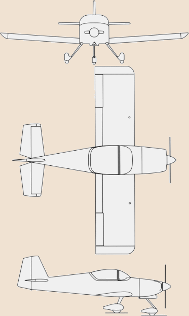
NTSB Final Report: Jeremy S Lezin Just SuperSTOL

Left Main Landing Gear Struck A Bush, And The Right Wingtip Impacted The Ground Analysis: According to the pilot of the tailwheel-equipped airplane, he noticed that the engine oil >[...]

blog comments powered by Disqus


Advertisement

Advertisement

Podcasts

Advertisement

© 2007 - 2025 Web Development & Design by Pauli Systems, LC