Tue, Aug 26, 2003
UAVs Ideal for Forest Surveillance
NASA is developing new
fire surveillance technology in collaboration with the US
Department of Agriculture Forest Service (USFS) that will increase
the efficiency of monitoring wildland fires. Using Unmanned Aerial
Vehicles (UAVs) and thermal infrared imaging technology and data
telemetry, scientists hope to provide accurate wildfire data in a
shorter amount of time.
"We're developing technology to assist the USFS in
understanding, managing and mitigating fire occurrences," said
Vince Ambrosia of NASA Ames Research Center, located in
California's Silicon Valley. "This will decrease their time
constraints on data access…and ultimately reduce risk to
life and property."
The five-year project, entitled, "NASA Wildfire Response
Research and Development, Applications and Technology
Implementation," is sponsored by the Ames Ecosystem Sciences and
Technology Branch (ECOSAT). It is funded by the NASA Headquarters'
Earth Science Research program Research, Education and Applications
Solutions Network (REASoN).
The project is divided
into three fundamental elements.
- The first element includes sensor development technology using
NASA's Airborne Infrared Disaster Assessment System (AIRDAS), which
Ames developed specifically for fire observation and control. This
system is carried aboard either piloted or UAV aircraft.
- The second element is a data telemetry research and development
phase. NASA scientists will test data transmission options, such as
satellite uplinks or wireless LAN technology, to find the fastest
way to send AIRDAS infrared imaging data to the fire manager on the
ground. The data will go directly to a Web server that the fire
manager can access. (During a recent experiment using satellite
uplinks, scientists were able to transmit thermal data to the fire
manager in just 10 minutes.)
- The third stage of the project is data integration, which
includes changing the data into an easily understood information
format similar to that of a map. This format will help the fire
manager decide where to deploy firefighters.
This strategy will lead to a significant improvement in tactical
fire imaging, information extraction and fire management and
mitigation efforts, according to Ambrosia.
The project is a strong collaboration between NASA and the USFS,
and also draws on research and development from the aerospace,
information technology and UAV science communities at NASA
Ames.
"Even though it involves the ECOSAT branch, the project is an
effort that will pull from a lot of people here at Ames," Ambrosia
said. "It's not just within the branch - it's a cross-cut where
many communities participate."
NASA Ames has been actively involved in airborne fire imaging since
the 1960's. In July 2000, NASA Headquarters selected NASA Ames to
coordinate the Wildfire Response Team (WRT) for the Agency.
More News
Improper Installation Of The Fuel Line That Connected The Fuel Pump To The Four-Way Distributor Analysis: The airplane was on the final leg of a flight to reposition it to its home>[...]
Decision Altitude (DA) A specified altitude (mean sea level (MSL)) on an instrument approach procedure (ILS, GLS, vertically guided RNAV) at which the pilot must decide whether to >[...]
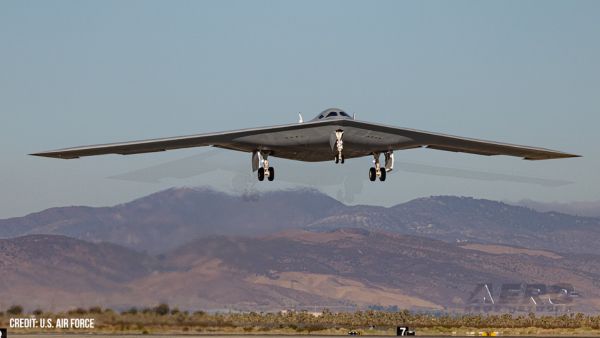
“With the arrival of the second B-21 Raider, our flight test campaign gains substantial momentum. We can now expedite critical evaluations of mission systems and weapons capa>[...]
Also: Potential Mars Biosignature, Boeing August Deliveries, JetBlue Retires Final E190, Av Safety Awareness Czech plane maker Bristell was awarded its first FAA Type Certification>[...]
Also: Commercial A/C Certification, GMR Adds More Bell 429s, Helo Denial, John “Lucky” Luckadoo Flies West CAF’s Col. Mark Novak has accumulated more than 1,000 f>[...]
 NTSB Final Report: Evektor-Aerotechnik A S Harmony LSA
 ANN's Daily Aero-Term (09.15.25): Decision Altitude (DA)
 Aero-News: Quote of the Day (09.15.25)
 Airborne 09.12.25: Bristell Cert, Jetson ONE Delivery, GAMA Sales Report
 Airborne 09.10.25: 1000 Hr B29 Pilot, Airplane Pile-Up, Haitian Restrictions


