Wed, Aug 26, 2015

Advertisement
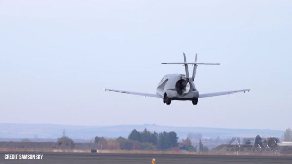
More News
 NTSB Final Report: Aviat A1
Airplane Bounced About 3 Ft Then Touched Back Down And Then, With No Brakes Applied, The Airplane Began Veering To The Left Analysis: The pilot entered the airport traffic pattern >[...]
ANN's Daily Aero-Linx (07.08.25)
Aero Linx: British Microlight Aircraft Association (BMAA) The primary focus within all aviation activity is SAFETY. In all aspects of our sport SAFETY must come first, whether it b>[...]
Classic Aero-TV: Fly Corvairs Reliable Engine Alternative
From SnF25 (YouTube Edition): William Wynne Builds Practical Aircraft Engines on the Corvair Platform Seeking an affordable alternative to the traditional aircraft engine options, >[...]
ANN FAQ: Contributing To Aero-TV
How To Get A Story On Aero-TV News/Feature Programming How do I submit a story idea or lead to Aero-TV? If you would like to submit a story idea or lead, please contact Jim Campbel>[...]
Classic Aero-TV: CiES Fuel-Quantity and e-Throttle Systems Praised
From 2023 (YouTube Edition): Bridge of CiES CiES Inc. is a Bend, Oregon-based designer and manufacturer of modular embedded aircraft systems and sensors. The company’s fuel-l>[...]
blog comments powered by Disqus