ASA Releases Aeronautical Chart User’s Guide | Aero-News Network
Aero-News Network
RSS icon RSS feed
podcast icon MP3 podcast
Subscribe Aero-News e-mail Newsletter Subscribe

Airborne Unlimited -- Most Recent Daily Episodes

Episode Date

Airborne-Monday

Airborne-Tuesday

Airborne-Wednesday Airborne-Thursday

Airborne-Friday

Airborne On YouTube

Airborne-Unlimited-03.10.25

Airborne-NextGen-03.11.25

Airborne-Unlimited-03.12.25

Airborne-AffordableFlyers-03.13.25

Airborne-Unlimited-03.14.25

Tune in to www.airborne-live.net to watch our exclusive coverage of AEA 2025!
March 18 - Opening Session & New Product Introductions from 0830--1200 PDT
March 19 - First Day of LIVE interviews from the show floor: 1400--1630 PDT, 
March 20 - Day 2 of LIVE Interviews from the show floor: 1100--1400 PDT

Sat, Sep 28, 2024

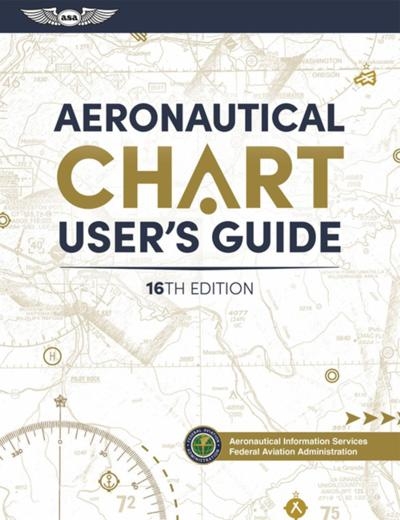
ASA Releases Aeronautical Chart User’s Guide

Sixteenth Edition Contains Wealth Of Information For Pilots Of All Levels

Aviation Supplies & Academics has released the 16th Edition of the Aeronautical Chart User’s Guide, the company recently announced. This release is an up-to-date learning aid and reference tool for information that is useful for pilots at any level. 

New student pilots, those pursuing advanced ratings, and experienced pilots alike will find a thorough compilation of descriptions and explanations of how to use the wealth of information contained in FAA aeronautical charts. Produced by the FAA’s Aeronautical Information Services branch, the Aeronautical Chart User’s Guide explains all the symbology for VFR and IFR charts including sectional, terminal area, planning, enroute low and high altitude as well as oceanic route charts. It also covers standard instrument arrivals and departures, and instrument approach procedures.

The FAA publishes charts for every stage of VFR and IFR flight including training, planning, departure, enroute, approach, and taxiing. The Guide serves as a complete reference volume for novice and experienced pilots, including international pilots becoming familiar with U.S. charts.

The Aeronautical Chart User’s Guide is available in softcover and PDF formats, both priced at $19.95. The softcover version is 136 pages and includes chart legends, airspace classification tables, and is illustrated with full-color graphics.

FMI:  asa2fly.com/

Advertisement

More News

NTSB Final Report: Dennis T Kirby/Michael B Kirby Murphy Rebel

(Pilot) Reported That During The Takeoff Roll, The Flight Controls “Felt Funny” Analysis: The pilot reported that he had a “controllability issue” during ta>[...]

ANN's Daily Aero-Linx (03.20.25)

Aero Linx: LightHawk We know that aviation can greatly enhance the rate and effectiveness of conservation work, often in ways that are not immediately obvious. We also know that av>[...]

ANN's Daily Aero-Term (03.20.25): Designated Common Traffic Advisory Frequency

Designated Common Traffic Advisory Frequency (CTAF) Area In Alaska, in addition to being designated for the purpose of carrying out airport advisory practices while operating to or>[...]

Airborne 03.12.25: Xyla Foxlin v FAA, RHC's New R88, Hemisphere Dancer Returns

Also: Electric Helicopter Engine, Spitfire Report, Nat'l Aeronca Convention, Skydiver Manual Xyla Foxlin is a social media personality who is an accomplished electronic engineer wh>[...]

ANN's Daily Aero-Linx (03.21.25)

Aero Linx: Wright Flight, Inc. Wright Flight, Inc., named after the Wright Brothers, is a unique program that began in Tucson in 1986. Wright Flight was founded by Lt. Col. Robin S>[...]

blog comments powered by Disqus


Advertisement

Advertisement

Podcasts

Advertisement

© 2007 - 2025 Web Development & Design by Pauli Systems, LC