Thu, Feb 14, 2019
GuardianUTM Platform Chosen To Replace Airmap In 32 European Countries
Altitude Angel, the world’s leading drone services company, has partnered with DJI to improve safety and open up more of the skies to its customers.
Replacing AirMap for Altitude Angel’s GuardianUTM platform, which enables any drone manufacturer or software developer to get access to accurate drone safety data, DJI has been able to extend the functionality of its geofencing solution (GEO 2.0) so it now more accurately reflects the highest safety risks around particular facilities. Now, airport runways and approach paths will be represented by more precise ‘bow-tie’ shapes, while other sensitive facilities such as prisons and nuclear power stations will also be represented by more accurate ‘polygon’ shapes, rather than large, static cylinders. By more accurately mapping the highest risk zones, DJI can improve safety while opening up more of the airspace to drone pilots.
In addition, DJI drones can benefit from real-time data from Temporary Flight Restrictions (such as those put up for airshows, emergency situations and security warnings) which greatly enhances the operational data available to drone pilots. This data comes from the same aviation systems used by pilots around the world, enhanced for drone pilots by Altitude Angel.
“Our platform, combined with DJI’s market leading drone technology, will give pilots greater access to safer skies,” said Richard Parker, Founder & Chief Executive Officer of Altitude Angel.
"Altitude Angel provides us with a service which is best in class and it shares DJI’s commitment to ensure future advanced operations - both beyond line-of-sight and automated - can coexist without hampering the millions of safe flights we see today by recreational and professional drone pilots," said Christian Struwe, DJI’s Head of Policy, EMEA. "Using Altitude Angel’s platform, DJI has been able to open up more of the skies to its customers, safely, while enhancing an industry-led solution to airspace safety that can make a difference immediately.”
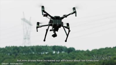
(Source: Altitude Angel news release. Image from file)
More News
Airport Marking Aids Markings used on runway and taxiway surfaces to identify a specific runway, a runway threshold, a centerline, a hold line, etc. A runway should be marked in ac>[...]
"It is extremely difficult, if not impossible, for manned aircraft to see a drone while conducting crop-enhancing and other aerial applications at low altitudes and high speeds. We>[...]
Aero Linx: The Skyhawk Association The Skyhawk Association is a non-profit organization founded by former Skyhawk Pilots which is open to anyone with an affinity for the A-4 Skyhaw>[...]
“The T-54A benefits from an active Beechcraft King Air assembly line in Wichita, Kansas, where all required METS avionics and interior modifications are installed on the line>[...]
Aero Linx: Aerostar Owners Association The Association offers the Aerostar Owner a unique opportunity to tap an invaluable source of information concerning the care and feeding of >[...]
 ANN's Daily Aero-Term (04.28.24): Airport Marking Aids

