More Than 80,000 Individual Drones Have Been Registered In The U.S.
A host of new users is changing the world of commercial aviation thanks in large part to the FAA small unmanned aircraft rule, Part 107 (PDF), which has now been in place for a year. Under the new regulations, drones are changing the way countless jobs are done, from movie filming and real estate marketing to agricultural mapping and smokestack inspections.

The numbers tell part of the success story. Since the Part 107 rule became effective last August, more than 80,000 individual drones have been registered for commercial and government purposes. And more than 60,000 people have obtained a Remote Pilot Certificate required to operate a drone under Part 107.
The FAA’s Part 107 is making is possible for a broad range of entities to find innovative uses for drones. Take a look at these examples.
Responding to Disaster – Hurricane Harvey
Drones have been invaluable in supporting response and recovery efforts for Hurricane Harvey. The FAA has issued 127 authorizations to drone operators performing seach and rescue missions and assessing damage to roads, bridges and other critical infrastructure; sometimes the agency has issued these authorizations within a few hours. In addition to the direct response and recovery efforts, several media outlets are operating drones over Houston to provide coverage to local residents and the world about flooding and damage in the area. All drone flights are carefully coordinated with manned aircraft operations to ensure the safety of everyone using the crowded Soth Texas airspace.
FAA Administrator Michael Huerta addressed the agency’s response to the “transformative role” drones are playing in Hurricane Harvey recovery operations in today’s remarks to the InterDrone conference.
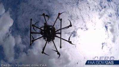
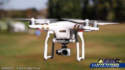
Commercial use of drones is taking off.
Several major property insurance companies are using drones to examine homes after storms, capturing images and video in crystal clear quality without requiring a person to climb up to a potentially hazardous roof. Dozens of television stations around the country fly drones to bring fresh aerial views of breaking news at lower risk and cost than a typical news helicopter. Other commercial operators of unmanned aircraft are flying them to monitor construction sites, create topographical maps, survey vegetation and drainage on farmland, inspect pipelines and other gas facilities, and many other innovative tasks.
States and municipalities are using drones for infrastructure improvements.
The Louisiana Department of Transportation and Development is saving the state hundreds of thousands of dollars by using drones to survey the median of I-10 for a cable barrier project. Officials in Minnesota and Ohio have flown drones to inspect highway bridges. And a company working with Hartsfield-Jackson International Airport is using a drone to 3-D map the runways in about half the time as teams armed with cameras.
Drones are a valuable tool for first responders.
When combating structure fires, the Wayne Township Fire Department near Indianapolis flies drones to provide a valuable perspective on hot spots and other potential hazards. In the area around Fort Collins, CO, several law enforcement and fire departments have launched a regional drone program to assist in investigations, including serious crashes and backcountry search and rescue operations. The Idaho State Police are using unmanned aircraft to get birds-eye views of crash and crime scenes, including barricade situations, fatal accidents, hazardous materials spills, and natural disasters.
Scientific research gets a boost from drones.
At the U.S. Geological Survey, officials have mounted sensors on drones to gather more accurate data than satellite imagery for the large swaths of land the USGS is responsible for monitoring. The National Oceanic and Atmospheric Administration has a fleet of 54 unmanned aircraft ranging in wingspan from less than six feet to more than 115 feet; the drones collect data from areas that can be dangerous for humans, such as the poles, oceans, wildlands, volcanic islands, and wildfires. Researchers at Oklahoma State University are flying sensor- and camera-equipped drones into developing storms to acquire measurements during tornado formation that will help improve knowledge of how tornadoes form and increase the confidence in issuing tornado warnings.
Part 107 as it now exists isn’t the end of this success story. The FAA is using a risk-based approach to enable increasingly more complex UAS operations, including operations over people, operations beyond visual line-of-sight, and transportation of persons and property. The agency is capitalizing on each incremental step, making sure a framework of performance-based regulations can easily accommodate change while maintaining the United States’ unmatched aviation safety record. By 2021 – just four years from now—the agency estimates there could be as many as 1.6 million small drones (under 55 lbs.) in commercial operation.
As FAA Administrator Michael Huerta said in a recent speech, “The only limitation seems to be: How quickly we – all of us, across the industry – can make it happen, safely.”
(Images provided with FAA news release and from file)
 ANN's Daily Aero-Term (04.26.24): DETRESFA (Distress Phrase)

