Wed, Apr 12, 2017
Will Depict Areas And Altitudes Near Airports Where Drones May Operate Safely
The FAA plans to release the first set of unmanned aircraft systems (UAS) facility maps on April 27. The maps will depict areas and altitudes near airports where UAS may operate safely. They will help drone operators improve the quality of their Part 107 airspace authorization requests, which will help the FAA process these requests more quickly.
Beginning April 27, users may access the facility maps online. Users will be able to download the data in several formats, view the site on mobile devices, and customize their views.
By referring to the facility maps when completing airspace authorization applications, remote pilots will be able to tailor their requests to align with locations and altitudes that the maps indicate are likely to be approved for small UAS operations. This will help simplify the process and increase the likelihood that the FAA will approve their requests.
FAA air traffic personnel will use the maps to process Part 107 airspace authorization requests. Altitudes that exceed what are depicted on the maps require additional safety analysis and coordination to determine if an application can be approved.
The maps will be informational only. They do not automatically authorize flights. Remote pilots must still submit online airspace authorization applications.The maps also do not guarantee approval for requests within the guidelines indicated by the maps. Only the FAA can grant controlled airspace access, which must be done through the authorization process.
The agency is releasing the maps in phases, with the first release on April 27 containing approximately 200 facility maps. The FAA plans to release facility maps over the next 12 months. Updates to the maps database will coincide with the agency’s existing 56-day aeronautical chart production schedule (PDF). If a map is not yet available, it can be expected in future releases.
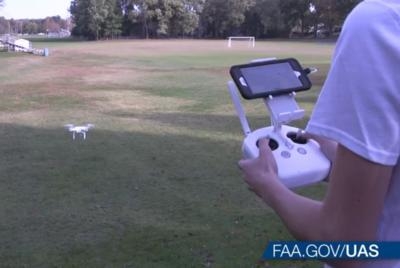
(Source: FAA news release. Image from file)
More News
From 2023 (YouTube Version): Legacy of a Titan Robert (Bob) Anderson Hoover was a fighter pilot, test pilot, flight instructor, and air show superstar. More so, Bob Hoover was an i>[...]
Get The Latest in Aviation News NOW on Instagram Are you on Instagram yet? It's been around for a few years, quietly picking up traction mostly thanks to everybody's new obsession >[...]
Aero Linx: B-52H Stratofortress The B-52H Stratofortress is a long-range, heavy bomber that can perform a variety of missions. The bomber is capable of flying at high subsonic spee>[...]
Altimeter Setting The barometric pressure reading used to adjust a pressure altimeter for variations in existing atmospheric pressure or to the standard altimeter setting (29.92).>[...]
"Knowing that we play an active part in bettering people's lives is extremely rewarding. My team and I are very thankful for the opportunity to be here and to help in any way we ca>[...]
 Classic Aero-TV: Remembering Bob Hoover

