Thu, Mar 17, 2016
Faulty Navigation Equipment And Limited Visual Reference Led To Fatal Cessna 150 Accident
In its investigation report (A14O0217), the Transportation Safety Board of Canada (TSB) determined that a faulty navigation receiver and difficulty holding aircraft heading while flying in conditions of limited visual reference, led the pilot of an aircraft to become lost, and eventually collide with terrain near Whitney, Ontario. Both occupants were fatally injured.

On 11 November 2014, at 1803 Eastern Standard Time, a Cessna 150M with two people on board departed from the Ottawa/Rockcliffe Airport under night visual flight rules for a flight to the Toronto Buttonville Municipal Airport. At 2025, the pilot transmitted a mayday indicating that he was lost and that the aircraft was low on fuel. The aircraft was below radar coverage, and air traffic control (ATC) attempted to assist the aircraft in locating a suitable aerodrome. At 2127, the pilot made a final radio transmission, and the aircraft crashed shortly thereafter.
The investigation determined that the aircraft was being operated in darkness, below a layer of clouds with limited visual reference, and over an area with few ground lights. The pilot was navigating by relying solely on aircraft heading and the information provided by an onboard navigation instrument (VHF omnidirectional range (VOR) receiver). A component within the receiver had deteriorated and was overheating, causing it to periodically display incorrect information. The pilot relayed this incorrect location information to ATC, rendering ATC assistance ineffective. Further, because the pilot was uncertain of the amount of fuel remaining in the aircraft, ATC attempted to route the aircraft to the perceived nearest airport with runway lighting rather than to one slightly more distant in a better lit, more populated area.
Shortly before the accident, the pilot entered a shallow descent, possibly in an effort to maintain visual flight in deteriorating weather, and as a result, the aircraft struck a heavily treed area.
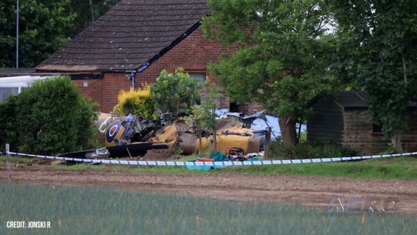
(Source: TSB news release. Image from file. Not accident airplane)
More News
How To Get A Story On Aero-TV News/Feature Programming How do I submit a story idea or lead to Aero-TV? If you would like to submit a story idea or lead, please contact Jim Campbel>[...]
Aero Linx: International Association of Professional Gyroplane Training (IAPGT) We are an Association of people who fly, build or regulate Gyroplanes, who have a dream of a single >[...]
NORDO (No Radio) Aircraft that cannot or do not communicate by radio when radio communication is required are referred to as “NORDO.”>[...]
Beyond Visual Line Of Sight (BVLOS) The operation of a UAS beyond the visual capability of the flight crew members (i.e., remote pilot in command [RPIC], the person manipulating th>[...]
Aero Linx: Malibu M-Class Owners and Pilots Association (MMOPA) The Piper M-Class Owners & Pilots Association (PMOPA) is a not-for-profit organization dedicated to the interest>[...]
 ANN FAQ: Contributing To Aero-TV
 ANN's Daily Aero-Linx (05.29.24)
 ANN's Daily Aero-Term (05.29.24): NORDO (No Radio)
 ANN's Daily Aero-Term (05.30.24): Beyond Visual Line Of Sight (BVLOS)
 ANN's Daily Aero-Linx (05.30.24)


