Flight Into Poor Viz Creates Tragedy... Again
Heavy fog and mist is nothing to mess with when trying to get
from Point A to Point B. A Turbo Arrow was downed last week when it
continued flight into deteriorating visibility, described by
witnesses as "a mile or less." With clouds "touching the
ridgelines' the scenario was one that has hurt or killed a number
of pilots who continued flight when common sense dictated that it
was time to get out of dodge... what a shame.

NTSB Identification: WPR11FA182
14 CFR Part 91: General Aviation
Accident occurred Sunday, April 03, 2011 in Cherry Valley, CA
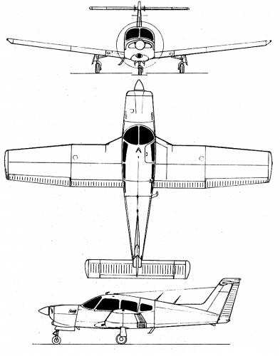
Aircraft: PIPER PA-28RT, registration: N355LC
Injuries: 1 Fatal.
This is preliminary information, subject to change, and may
contain errors. Any errors in this report will be corrected when
the final report has been completed.
On April 3, 2011, about 0715 Pacific daylight time, a Piper
PA-28RT-201, N355LC, collided with terrain near Cherry Valley,
California. The pilot/owner was operating the airplane under the
provisions of 14 Code of Federal Regulations (CFR) Part 91. The
private pilot sustained fatal injuries; the airplane sustained
substantial damage to the entire airframe from impact forces and a
post crash fire. The cross-country personal flight departed
Banning, California, at an undetermined time with a planned
destination of Redlands, California. Visual meteorological
conditions prevailed at the nearest official weather reporting
station, and no flight plan had been filed.
Witnesses near the accident site reported hearing the airplane
at low level, but could not see it because of low clouds. They
reported that the visibility was 1 mile or less in fog or heavy
mist, and that the clouds were touching the tops of the ridgelines.
They stated that the engine sounded like it was operating normally,
and the sounds stayed the same until they abruptly stopped. A
witness less than 1 mile away heard a heavy impact and the engine
sounds stop, but did not see the fireball as the mountains blocked
her view. A witness about 4 miles away, did not hear the impact,
but observed a fireball when the engine sounds stopped.
Investigators examined the accident site, which was in the
foothills of mountainous terrain. The debris field was on a
north-south ridge as it rose toward an east-west primary ridgeline
with a road on top of it. The main debris field went downhill on
the west slope of the ridge. A portion of the right wing with part
of the aileron attached, the remainder of the right aileron, and
the aileron balance weight were on top of the ridge crest, which
was left of the debris path centerline.
The first identified point of contact (FIPC) was a ground scar
that was a few inches wide at the beginning. About 3 feet forward
of the FIPC in the direction of the debris field were green lens
fragments. The initial ground scar expanded to about 1-foot for
about 20 feet; it ended at the edge of the principal impact crater
(PIC). The PIC was about 20 feet long and 10 feet wide. One
propeller blade separated, and was in the center of the PIC. The
blade bent aft at the fracture point; the fracture surface was
angular and jagged with a shear lip. The debris path continued
slightly downslope, and the main wreckage came to rest about 180
feet from the FIPC. Both flaps separated and were midway into the
debris field.
The main wreckage consisted of the engine, fuselage, left wing,
and empennage. The cabin was severely damaged and twisted; it
fragmented and was partially consumed by fire.
The engine separated from the airframe, but was in its relative
position in front of the cabin. It came to rest in an upright
position.
All control surfaces were identified at the accident site.
 ANN's Daily Aero-Term (04.20.24): Light Gun

